The professional solution for inspecting, simulating and modeling the electromagnetic features of communication, navigation and surveillance equipment
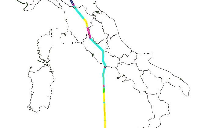
EMACS, Electromagnetic Control and Survey, is an AIM (aeronautical information management) tool that applies advanced simulation techniques to perform airport and Enroute electromagnetic environment analysis as well as airport and en-route electromagnetic site verification. This includes performance assessment of any existing Communication, Navigation and Surveillance (CNS) equipment, prediction of the effects on navigational aids (NAVAIDs) by the placement of a new structure and also NAVAID placement analysis.

EMACS is fully integrated and interoperable with AIS/AIM data and is composed of a set of validated modular 3D modeling and simulation tools capable of tackling the electromagnetic compatibility (EMC) and electromagnetic interference (EMI) issues that occur within the complex environments of airports and air navigation sites. It enables the user to calculate and simulate the same electromagnetic features of installed NAVAIDs that are typically inspected during commissioning or standard periodical flight checks.
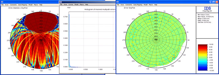
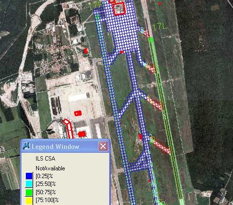
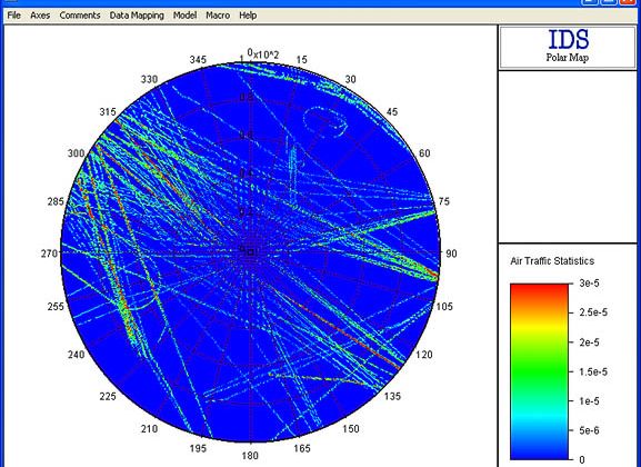
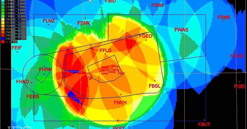
EMACS allows the user to create a numerical model of the equipment under analysis, either current or proposed, and an electromagnetic model of the environment surrounding it. It then performs a numerical analysis on the data provided and generates a visual representation of the computed electromagnetic field and the associated air navigation qualities (e.g. DDM, coverage limits). EMACS also has built-in parameter tools to simulate the behavior of on-board aircraft receivers.
Applications
EMACS - Main Applications
- ICAO doc 8071 requires that the ANSP or airport performs annual flight calibrations (NAVAID flight checks) to check the performance of an airport’s NAVAIDs
- ICAO Annex 10 compliance analysis
- Feasibility analysis of new or upgraded airports/equipment
- CAA planning permissions
- Support ATC with radar and NAVAID system siting
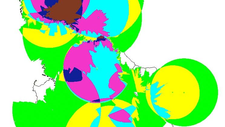
- Interference, PSR/SSR coverage and radar maps
- Airport master plans definition
EMACS - Main Benefits
EMACS – TECHNICAL SHEET
- 3D modeling functionality includes terrain models, obstacles, interfering systems, ground and airborne NAVAID equipment characteristics etc.
- Can investigate the performance of a variety of navigation systems including VOR, DME, ILS, ATC Radar, VDF and GPS systems
- Based on a layer of graphical (CAD) and geographical (GIS) functions for constructing and visualizing 3D elements on a geographic continuum using all types of datum and projections (e.g. WGS84)
- Radio coverage evaluation at a constant altitude or height and along a route segment
- Antenna pattern definition and modeling
- CNS equipment coverage redundancy assessment
EMACS is a modular system with each module devoted to a specific type of additional computational analysis (e.g. EMI risk analysis, wind farm impact assessment) or to a specific kind of equipment (e.g. ILS, DME, VOR).
The modules available for EMACS are:
- VDF – VHF direction finding coverage analysis
- Wind Farm – wind farm impact assessment
- ASUV – RNAV performance assessment
- ILS – instrument landing system precision analysis
- VOR – VHF omnidirectional range precision analysis
- DME – distance measuring equipment precision analysis
- Radar – radar performance evaluation
- Ground-Air Communications – VHF link analysis
- EMI – electromagnetic interference evaluation around CNS equipment
- MLAT – airport multilateration systems performance analysis and simulation
Error: Contact form not found.


